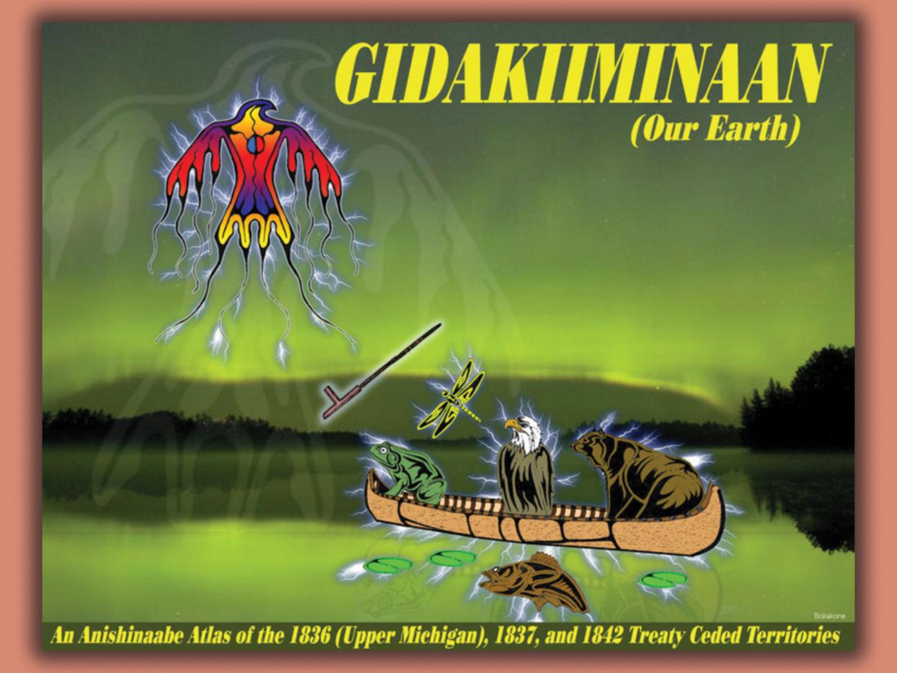
The language atlas includes 30 individual maps depicting the Ojibwe language name for geographic place names in the 1836, 1837, and 1842, ceded territories of Minnesota, Wisconsin, and Michigan. The spatial extent of individual map panels was chosen to provide the most convenient representation of those named features. Therefore, there is not a constant spatial scale used in this atlas. As such, this atlas is not intended for distance calculation or navigation. Its sole purpose is to illustrate the names that native peoples of the region gave to natural features of the Great Lakes region. It is also important to note that many places or geographic features can have more than one name. For clarity and convenience, these maps illustrate only one of those names.
You may also be interested in...
Affirming and Implementing Treaty-Reserved Rights in the Pacific Northwest and Great Lakes
This report describes some of the Great Lakes and Pacific Northwest treaty tribes’ natural…
Plants Used by the Great Lakes Ojibwa
This book includes a brief description of the plant and its use, a reproduced line drawing, and a…
2026 Phenology Calendar
The phenology calendar is a publication that comes out every other year alongside the Biboon…
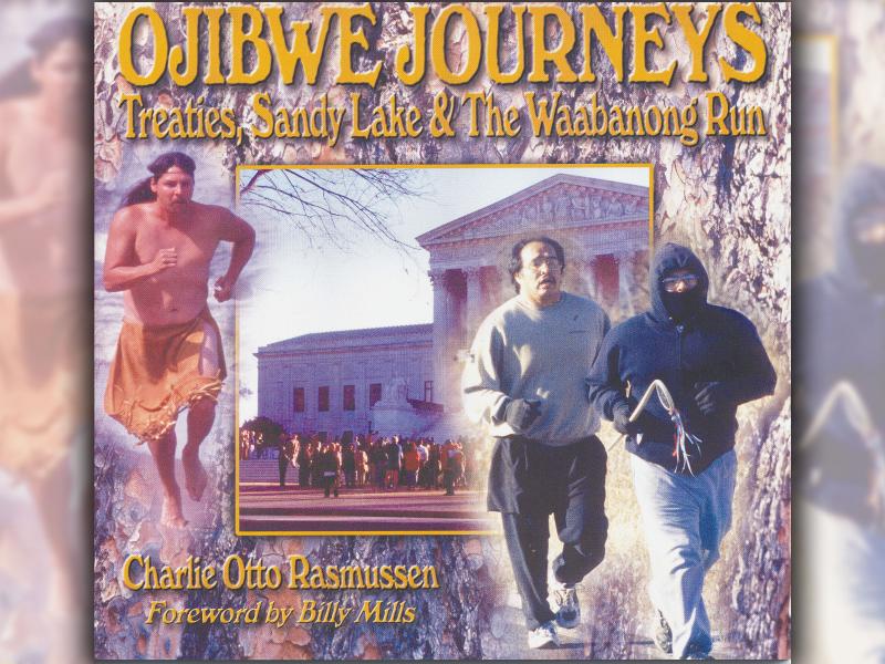
Ojibwe Journeys: Treaties, Sandy Lake, & The Waabanong Run
This book explores key events in the history of Ojibwe people in the greater Lake Superior region.…
$8.00
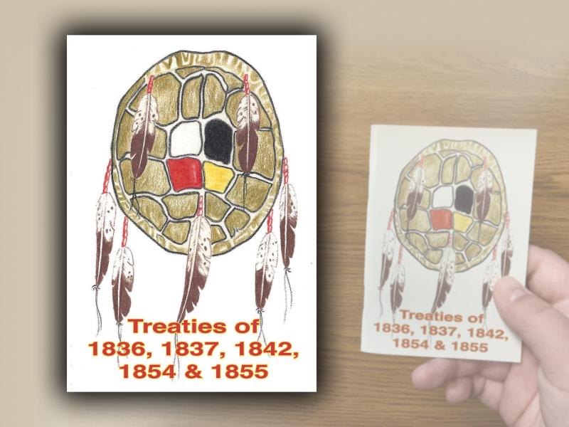
Treaties of 1836, 1837, 1842, 1854, and 1855
Ojibwe (called Chippewa by the United States Government) and Ottawa land cessions to the United…
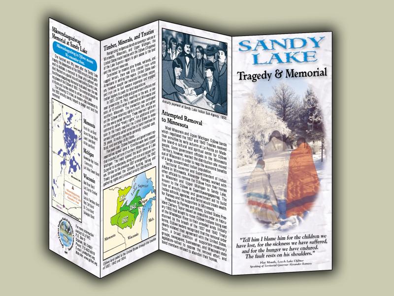
Sandy Lake Tragedy & Memorial brochure
President Taylor's 1850 removal order had failed. Nevertheless, Ramsey and Indian Sub-agent John…
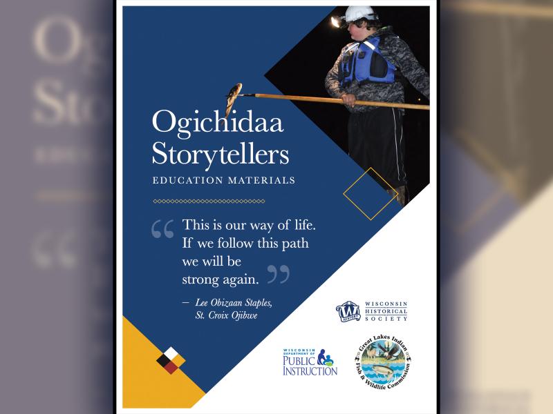
Ogichidaa classroom materials
These materials to support the use of the Ogichidaa Storytellers Videos in grades 6–12 classrooms.…
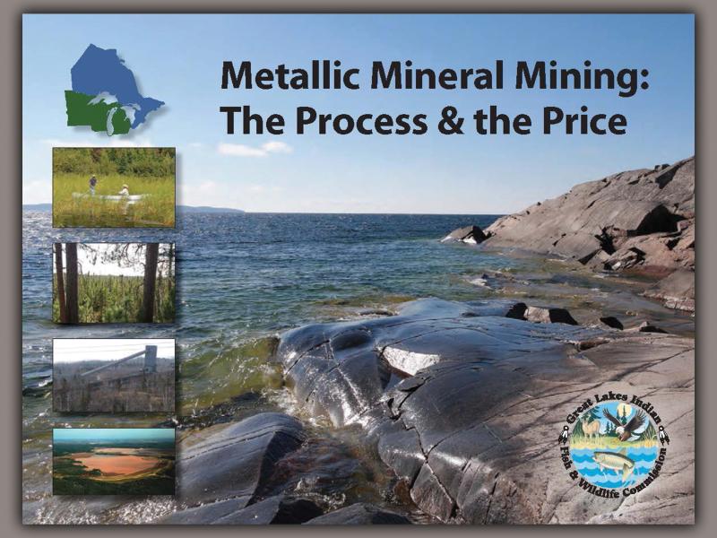
Metallic Mineral Mining: The Process & the Price
This booklet provides an overview of metallic mining by describing its stages and their associated…
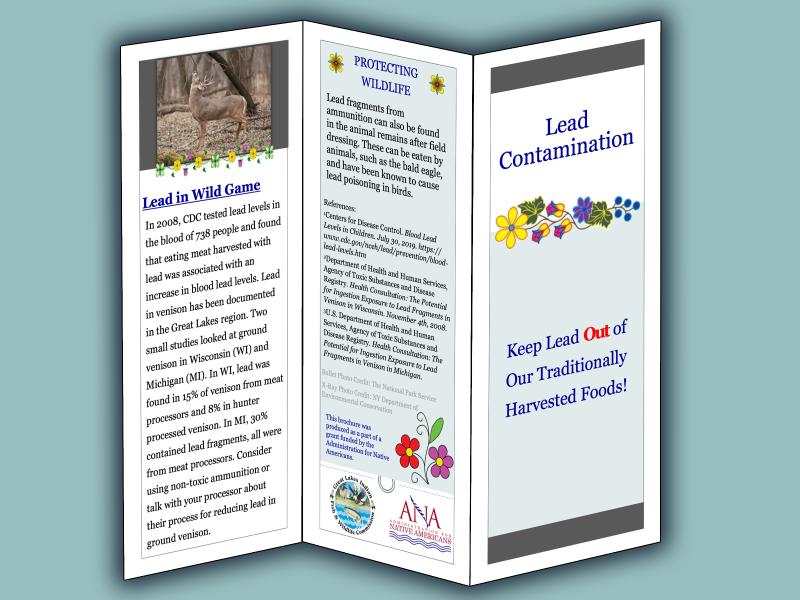
Lead Contamination Brochure: Keep Lead OUT of our Traditionally Harvested Foods!
Lead fragments from ammunition can also be found in the animal remains after field dressing. These…
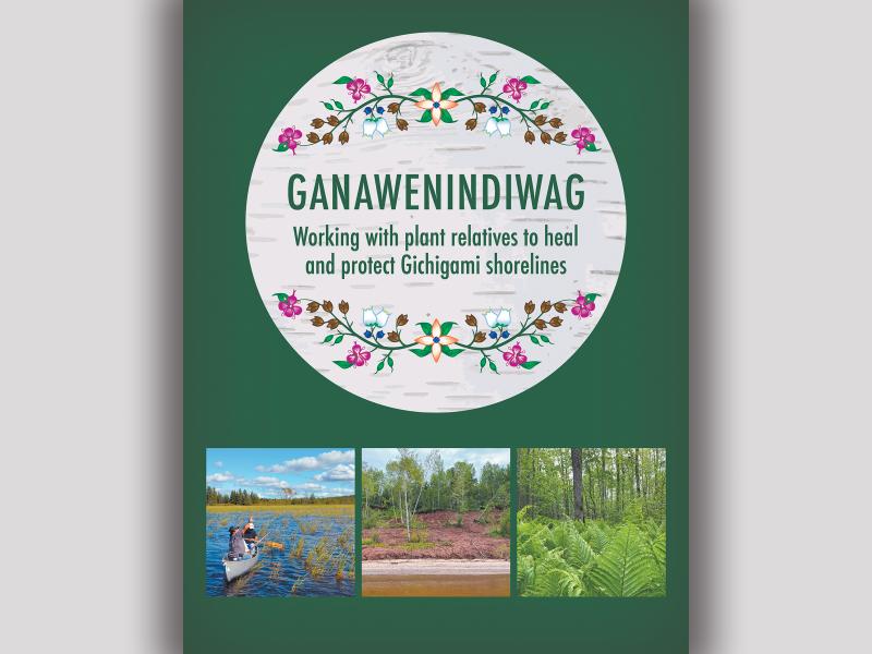
Ganawenindiwag: Working with plant relatives to heal and protect Gichigami shorelines
Ganawenindiwag (they take care of each other) empowers users to grow, promote, and use plants…
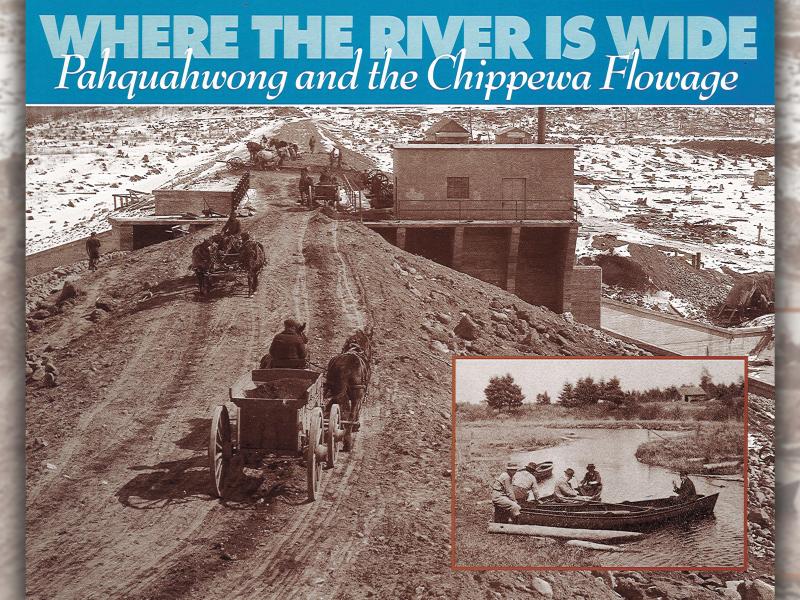
Where the River is Wide: Pahquahwong and the Chippewa Flowage
This book looks at historical events as they occurred in the Chippewa Flowage. Some events have…
$8.00
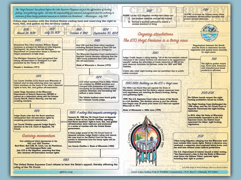
Lac Courte Oreilles v Voigt Decision
This 40th anniversary commemorative poster of the Lac Courte Oreilles v Voigt Decision details…
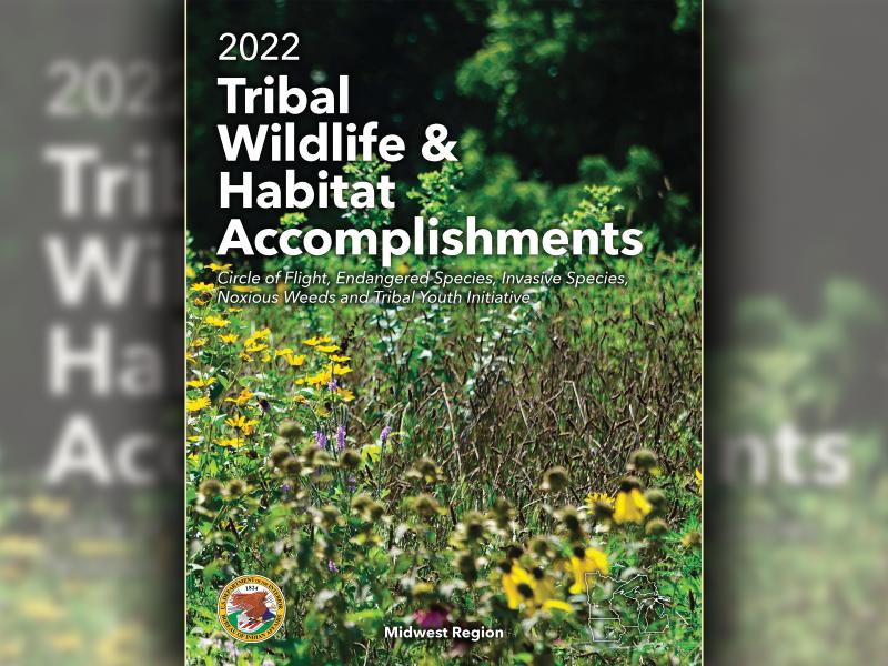
Tribal Wildlife & Habitat Accomplishments
In the Midwest Region, more than 35 tribes and tribal organizations manage a land base greater than…
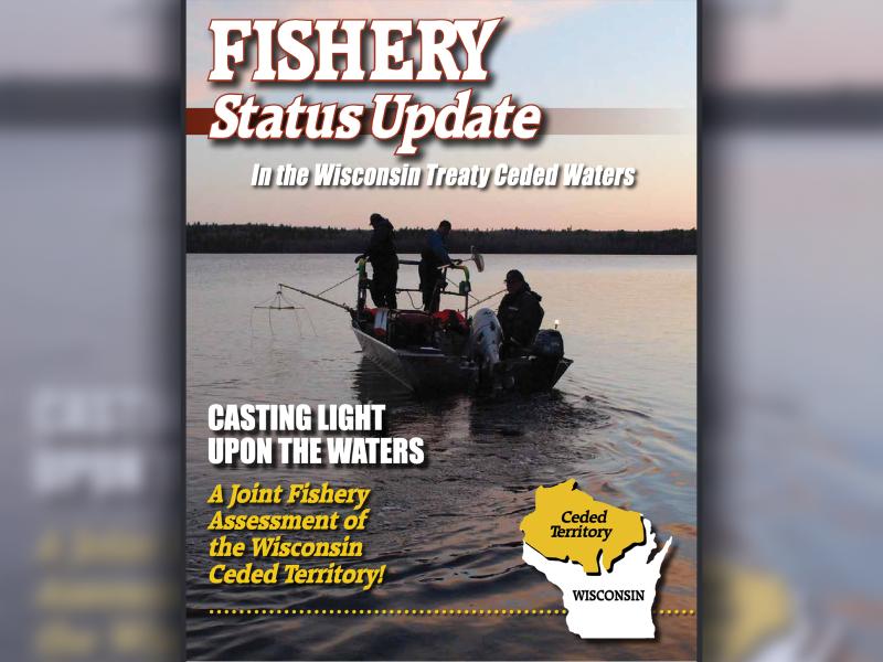
Fishery Status Update 2013
Walleye and Wisconsin have become almost synonymous over the years as the state's numerous lakes…
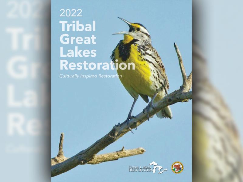
Tribal Great Lakes Restoration
This publication features the success stories of how tribes have been key contributors to the…
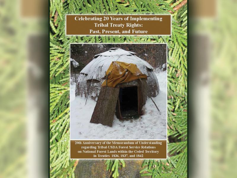
Celebrating 20 Years of Implementing Tribal Treaty Rights: Past, Present, and Future
20th Anniversary of the Memorandum of Understanding regarding Tribal-USDA Forest Service Relations…